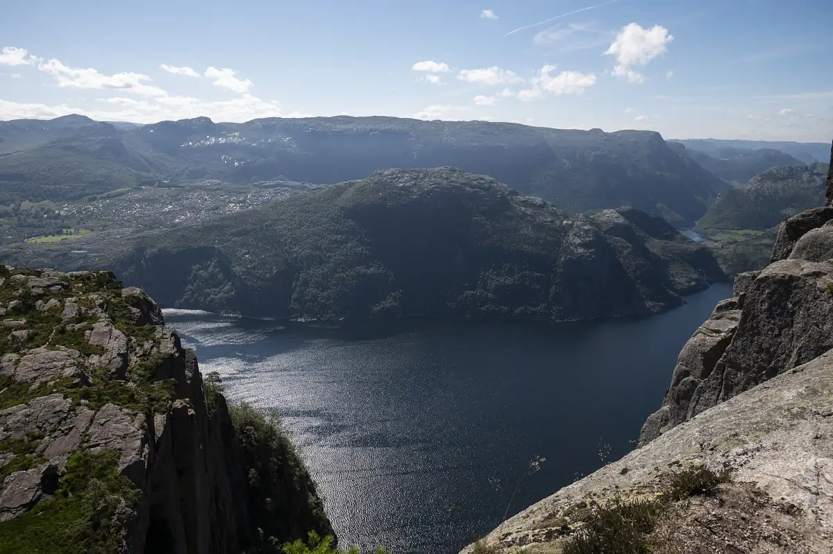
Hiking around the Lysefjord: the main trails
If you want to hike the Lysefjord, you choose between a handful of trails that start at very different places. Preikestolen has its own trailhead car park, Kjerag lies above Lysebotn at the head of the fjord, and Flørli is a village you reach by boat. Each one has its own season, its own parking situation and its own level of effort.
Most first-time visitors start with Preikestolen. It has a clear distance and time and is normally open all year. The other trails need a bit more planning, which is what this page helps with.
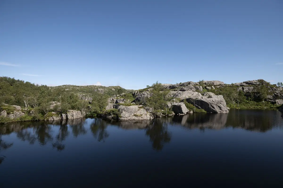
Our pick: multi-day hiking trip
If a single day hike is not enough, this is a guided hiking trip over several days in the area, with meals included.
Hand-picked tours, booked through Viator. Prices are indicative starting prices in euros (as of October 2026). Tap a tour for live availability and the current price in your currency.
Guided hikes and fjord trips from Stavanger
Guided hikes to Preikestolen and Kjerag, plus boat trips that show the fjord walls from below, with live prices and availability.
The Lysefjord trails compared
Figures as of 2026. Walking times are planning values for good conditions.
| Trail | Start | Key figures | Good to know |
|---|---|---|---|
| Preikestolen | Preikestolen trailhead car park | 8 km return, about 4 hours, 500 m of ascent, plateau 604 m above the fjord | Car park NOK 275 for a car staying more than 2 hours. Normally walkable all year, but winter needs gear |
| Kjerag | Øygardstøl, above Lysebotn | – | Car park NOK 300 for more than 2 hours. Closed for the season, reopening expected 1 May 2027 |
| Flørli stairs | Flørli, a village without a road | 4,444 steps | You arrive by boat. Boat ticket, accommodation and café are separate |
| Hengjanenibbå | – | – | Check a current route description before you go |
For most first-time visitors, Preikestolen is the right choice. Read the full route on the Preikestolen overview or on our own page about the Pulpit Rock hike. If you would rather not drive, a guided Pulpit Rock hike from Stavanger covers the transport.
Hengjanenibbå and other trails
Less famous than Preikestolen, and worth planning separately.
Hengjanenibbå is another hike around the Lysefjord. Before you set out, look up a current route description for the distance, the climb and the trail condition, because they differ from the Preikestolen figures above and this page does not give you numbers for it.
A good rule for every trail here: do not copy the Preikestolen timing. Steep sections, wet rock and wind change how long a walk takes. If you are not used to mountain trails, a guide is recommended, especially in winter.
This site covers the Lysefjord in depth, while Geiranger, the Sognefjord and the rest of fjord Norway sit with our Norwegian fjords guide.
Flørli stairs: the village you reach by boat
A hydropower story with a very long staircase.
The stairs
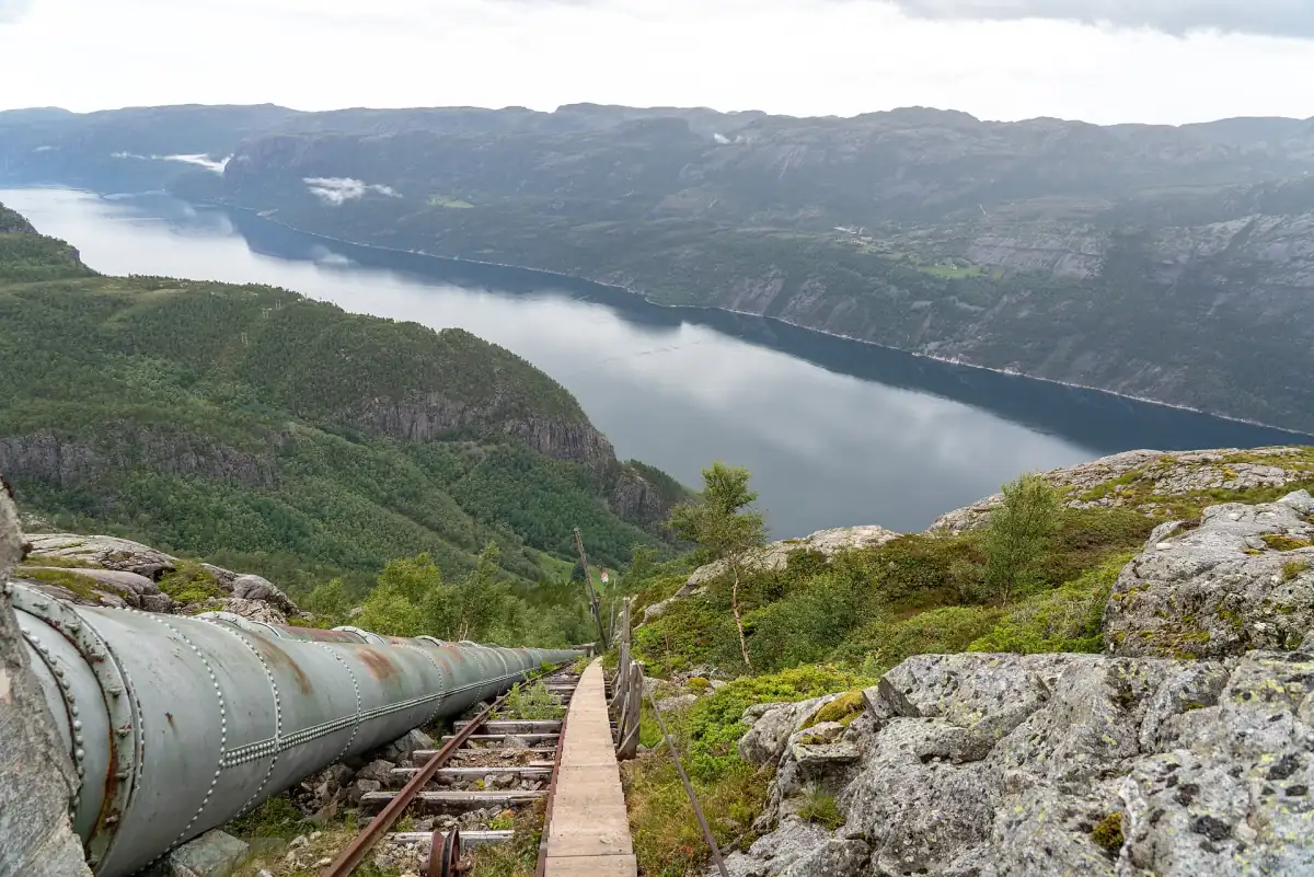
The Flørli stairs have 4,444 steps and belong to the history of the village's hydropower plant. See the Flørli stairs page for the season and how to get there.
No road
Flørli has no road connection. You arrive by boat from Stavanger, so plan the return trip before you start climbing.
Separate services
A boat ticket, accommodation and the café are separate things. The café is open in summer, not all year, so bring your own food outside that season.
A day trip option
A 7-hour trip combines a RIB ride from Stavanger to Flørli and back with time in the village. Lunch is not included.
Fantahålå is a sea cave, not a hike
Some names on the fjord belong to the water.
Fantahålå is a coastal cave on the fjord. You see it from a boat, not from a trail, so do not look for a walking route to it. A Lysefjord cruise from Stavanger passes it, along with Ådnøy and a waterfall, and shows Preikestolen from below, which a hike does not.
Safety, weather and gear
What changes between summer and winter.
Weather
The weather can change quickly. Fog, wind and rain make rock slippery and views short. See best time to visit for the seasons.
Winter
The Preikestolen trail is normally open all year, but snow, ice and short daylight change the walk. Spikes and warm clothing can be needed. Guided winter hikes exist if you want company and gear.
Time and daylight
Count the whole day, not just the walking time, and plan to be back before dark in the colder months.
Plan the trail you want
The detail pages for each hike.
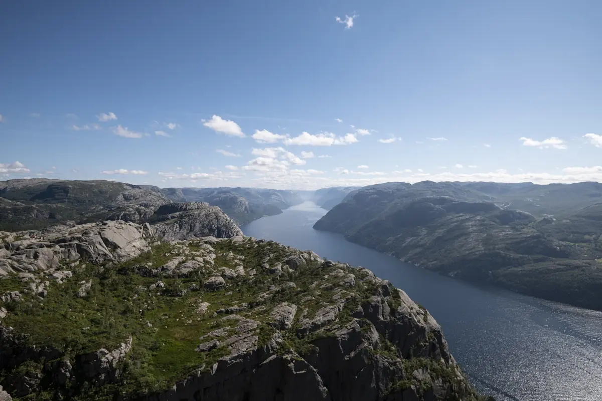
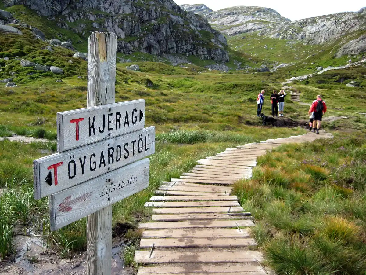
Hiking the Lysefjord: frequently asked questions
Which hike is best for a first visit?
Preikestolen. It has a clear route of 8 km return and about 4 hours, with 500 m of ascent in total.
Can I hike to Fantahålå?
No. Fantahålå is a coastal cave you see from the water, for example on a fjord cruise.
Is Kjerag open?
Kjerag is closed for the season, with the road and trail expected to reopen on 1 May 2027. That is an expected date, not a guarantee.
Do I need a guide?
Not by law. A guide is a good idea if you have little mountain experience, and in winter.
What does parking cost?
NOK 275 at Preikestolen and NOK 300 at Kjerag for a car staying more than 2 hours (2026). A parking fee is not an entry fee for the mountain.
How high is the Preikestolen plateau?
604 metres above the fjord. See the hike page for the route.